Category: Uncategorised
End of Blog Reflections

Concluding Thoughts:
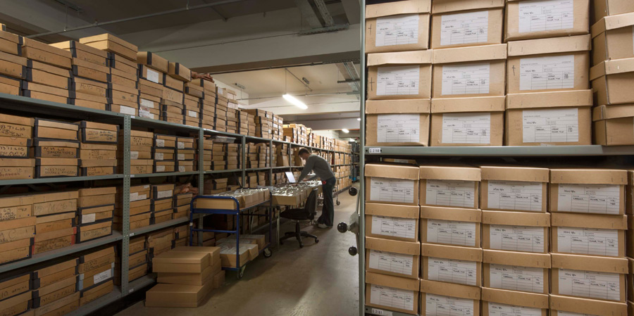
Archaeological research shouldn’t turn out to be grey literature sat in the depths of an archive somewhere never to be seen again. Rather it should be projected and made easily accessible (communicated if you will) to everyone in the rapidly growing digital formate which can’t decay.
Copyright
© Oliver Ruffles and TheArchaeologistArticle, 2018.
The Creative Commons Website.
In the last of our workshops we were drawing our blogs to an end this meant we had to consider the copyright laws for our blogs to protect them. I have chosen to license my blog under the Creative Commons Attribution 4.0 International License.
This is because I want my work protected but I also want students like myself and others to use my work while still crediting me if they include it in their work. Allowing others to distribute, remix, tweak, and build upon your work.

This work is licensed under a Creative Commons Attribution 4.0 International License.
Archaeological Virtual Reality

(Header) Architip is an app used to show archaeological sites how they would have stood when in use. Visual Reconstuction for me is the most useful aspect of virtual archaeology.
The fifth practical workshop was Virtual Reality (3D Reconstructions) in Archaeology. This entailed the reconstruction of the Cat’s Brain Neolithic Building Excavated by Jim Leary using Sketchup from a basic archaeological plan.
The act of recreating and modelling landscapes, excavations, buildings, cities, people and environments shows a huge progression from 2D archaeological maps (Bruno et al. 2010).
For me it really is the next big revolution in archaeology!
Archaeological Mapping Making Madness

The fourth practical workshop was archaeological Map making. This concerned the construction of digital maps using Digimaps…
Maps in have been in use in archaeology since the days of antiquarians such as Pitt-Rivers’ record of Handley Downns, 1898 but have progressed considerably since. However, in communicating archaeology they relate to the management of heritage, planning and urban development.
Maps are created from existing studies and recent fieldwork, covering all the latest data and putting it all together in one place.
GIS has become increasingly used in archaeology recently, a-cord with the general trend in communicating archaeology of digitalising for convenience and practicality.
As a visual learner, I work well with spatial information.
